Example request
Map entries are intent-detected: send a prompt with location intent that surfaces map-aware results. No flag is required.map array documented below.
Overview
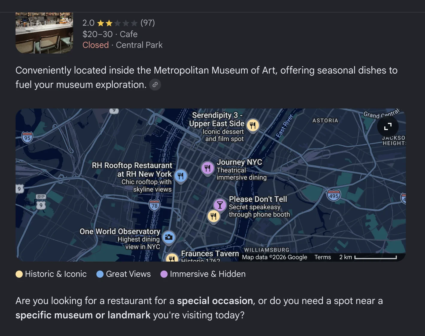
GPS-enriched location data extracted from the response when AI Mode surfaces map-aware results. Each entry includes latitude/longitude coordinates suitable for plotting on a map. Map entries appear in render order; array index0 is the first card shown on the map carousel.
For inline place cards without GPS coordinates, see places.
places and map may both appear in the same response — places is the inline place-card layer, map is the GPS-enriched layer.Map entry structure
| Field | Type | Description |
|---|---|---|
title | string | Place name |
link | string | Google viewer URL for the place |
placeId | string | Google Places ID |
index | integer | Position index of the place in the results |
gps_coordinates | object | Geographic coordinates (latitude, longitude) |
thumbnail | string | Place thumbnail image URL |
rating | number | Star rating (0-5) |
reviews | integer | Number of reviews |
type | string | Place type or category |
address | string | Full address |
status | string | Operating status (e.g., “Open now”) |
gps_coordinates
| Field | Type | Description |
|---|---|---|
latitude | number | Latitude coordinate |
longitude | number | Longitude coordinate |